What is TISGRADE?
TISGRADE is a European initiative that improves the availability and quality of traffic information services across borders.
By improving the way how real-time traffic data is collected, validated and shared, TISGRADE helps to make travel safer, smoother and more sustainable. The project supports better route guidance, more reliable traffic information and smarter travel decisions.
Upgraded National Access Points (NAPs) and improved system interoperability enable easy access to reliable information on roadworks, speed limits, and lane or road closures across borders, benefiting both service providers and road users.
The project brings together over 50 partners from more than 20 European countries. By connecting road authorities, National Access Points and service providers, TISGRADE strengthens collaboration across the entire traffic data chain.
This leads to more accurate, up-to-date and practically usable traffic information, while supporting better traffic flow, improved safety and reduces environmental impact.
Project scope
The project runs from November 2025 until December 2028 and has a total budget of EUR 27.5 million, including EUR 13.7 million in EU co-funding.
The TISGRADE initiative unites 54 partners from 20 EU Member States and Norway, representing national, regional and local road authorities, National Access Points and major European service providers. TISGRADE strengthens the entire traffic data value chain and directly supports the goals of the European Green Deal and the Sustainable and Smart Mobility Strategy.
The project is coordinated by the Dutch National Road Traffic Data Portal (NDW).
Why TISGRADE exists
The need for accurate, reliable traffic information services
Across Europe, traffic data is collected and shared via National Access Points by many road authorities. But in practice, they face many challenges:
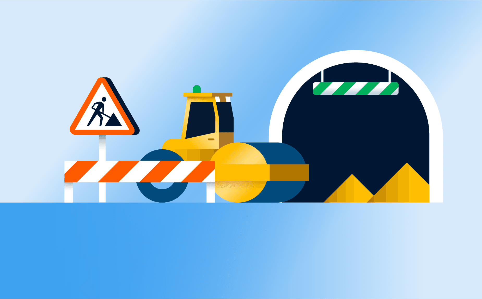
- Data availability is fragmented, incomplete or outdated.
- Data is stored in different formats.
- It's difficult to exchange across borders.
- It's not ready for use by service providers.
As a result, navigation services cannot always provide accurate, up-to-date information on roadworks, closures, speed limits and other traffic restrictions. This makes traffic information less reliable and slows down the adoption of smart mobility solutions.
Key challenges
Three main challenges affect the current system:
- Limited interoperability and continuity between systems and services.
- Insufficient coordination between stakeholders.
- Gaps in data availability, accessibility, quality and limited data exchange.
How TISGRADE addresses this
TISGRADE improves how traffic data is handled across the full data chain.
It focuses on making data easier to: collect, digitise, validate, share and maintain over time
In addition, the project establishes a continuous public-private feedback loop to improve data quality and long-term reliability.
Project benefits
Improved road safety
By providing service providers with reliable, up-to-date traffic data - such as incidents, roadworks, and temporary measures - drivers will receive timely warnings and safer route guidance across motorways and urban roads.

Better traffic flow
Enabling service providers to use traffic management data more effectively, helping them anticipate congestion and incidents, balance traffic across the network, and prevent bottlenecks at local, regional, and European levels.
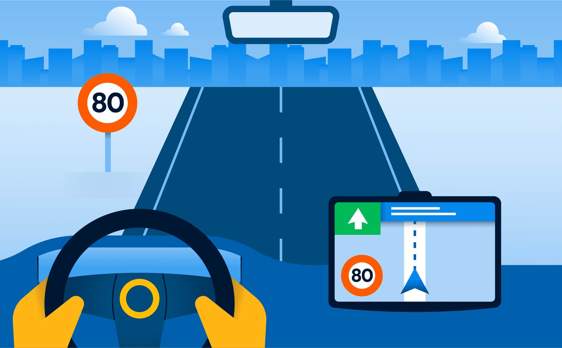
Real-time information and smarter route advice
Enhances real-time traffic information, enabling personalised and policy-aware route guidance that helps drivers to make informed decisions and gives authorities greater control over traffic management.
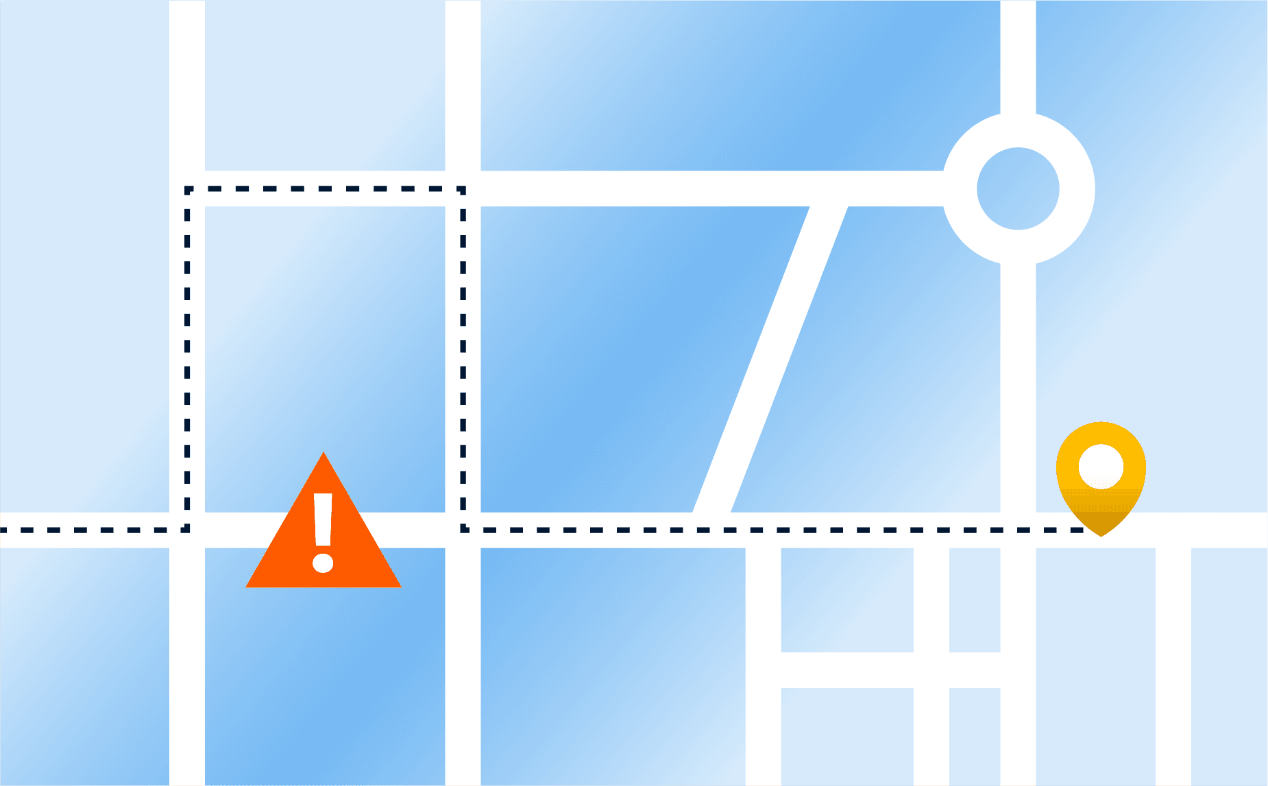
Less through-traffic and rat-running
By making local traffic measures visible in navigation services, TISGRADE helps to reduce unwanted traffic in residential areas and improve liveability.
What is RTTI?
RTTI stands for Real Time Traffic Information. The European RTTI Regulation helps make traffic data across Europe more accessible, consistent and up-to-date. Its goal is to support reliable traffic information services that work across borders.
Why does it matter?
Better traffic data leads to better traffic information services. That means more accurate information on roadworks, speed limits, closures and other traffic restrictions.
Who is affected by the RTTI Regulation?
All public and private organisations that collect, digitise and dissminate traffic data need to work with this data in a more consistent way. This affects how road authorities, National Access Points, service providers and other partners share information and work together.
How does TISGRADE support this?
TISGRADE helps partners improve data quality, accessibility and cooperation, making it easier to put RTTI into practice.

How TISGRADE works
TISGRADE improves traffic information step by step across the full data chain, from data collection to route guidance.
In detail: From data to better travel decisions
National, regional and local road authorities collect data on roadworks, speed limits, closures and other traffic measures.
This data is checked, improved and standardised so it can be used consistently across systems and countries.
Once validated, the data is shared through National Access Points, making it accessible across Europe in line with European requirements.
Navigation and mobility services use this data to improve routing, travel time predictions and driver information.
Road users benefit from more reliable, real-time traffic information and smarter route guidance.
A feedback loop between public and private partners helps improve data quality over time.
From testing to large-scale deployment
TISGRADE tests its approach in different regions across Europe, from cities to major corridors. These real-world validations help ensure that solutions work in practice before being scaled up across Europe.
Project governance and structure
TISGRADE has a clear governance structure that supports coordination, decision-making and collaboration across the project.
Because of the size and complexity of the partnership, strategic and operational decisions are organised separately. This helps ensure both strong alignment and efficient execution.
Partners
The TISGRADE project is implemented across key transport corridors and urban nodes throughout Europe. It brings together a broad European partnership of public and private organisations. The project includes partners from 20 EU Member States and Norway, including road authorities, National Access Points, service providers and network organisations.
Want to see all project partners?